
International Conference on Agricultural Statistics (ICAS), Poland, July 2026
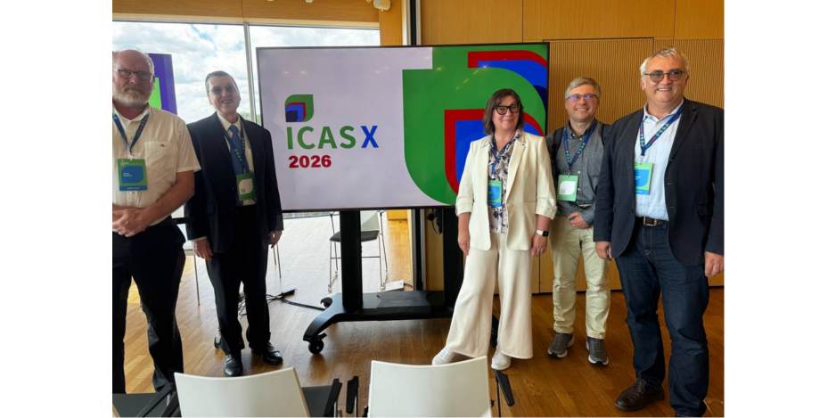
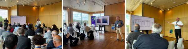
The project was represented at the International Conference on Agricultural Statistics (ICAS), held in July 2026 in Poland, with two panels.
The first panel, “Combining Statistics, Administrative Data and Earth Observation to Improve Agricultural Statistics in a Period of Profound Turbulence,” brought together representatives from MEEA, UkrStats, and the World Bank. Klaus Deininger’s presentation can be found here:
The second panel, “Potential and Limits of New Technologies for Agricultural Statistics,” featured presentations by the European Commission, the Joint Research Centre, the Igor Sikorsky Kyiv Polytechnic Institute, the University of Maryland, and GAF AG:
Analysis of crop area statistics by Guido Lemoine, European Commission, Joint Research Centre (JRC), Food Security Unit:
On the Inference from Satellite-based Classification Maps for Area Estimation by Sergii Skakun, University of Maryland, College Park, MD, USA:
Rapid Crop area Estimates combining an area frame survey with Satellite image analysis for Moldova by Christophe Sannier, Ilaria Palumbo, Daan van Setten, Kristoff Van Tricht, Paul van der Voet, Koen De Vos, Menno de Vries, Victor Mutepa, Guido Lemoine & Felix Rembold:
AI-driven Parcel Delineation in Ukraine using Open Satellite Data by Nataliia Kussul2 3, Klaus Deininger1, Yevhenii Salii3 4, Mykola Lavreniuk 5, Andrii Shelestov3 4, Z. Szantoi5 (1: World Bank 2: Department of Geographical Sciences at the University of Maryland (UMD) 3: NTUU “Igor Sikorsky Kyiv Polytechnic Institute” 4: Space Research Institute NASU-SSAU 5: European Space Agency):
Satellite imagery-based delineation of land use categories for use in a Land Parcel Identification System (LPIS) in Ukraine Nataša Luketić, independent consultant World Bank – EU funded LPIS Pilot, Ukraine (2025):